Anaehoomalu Ahupua`a neighborhood in Waikoloa, Hawaii (HI), 96743 detailed profile
Settings
X

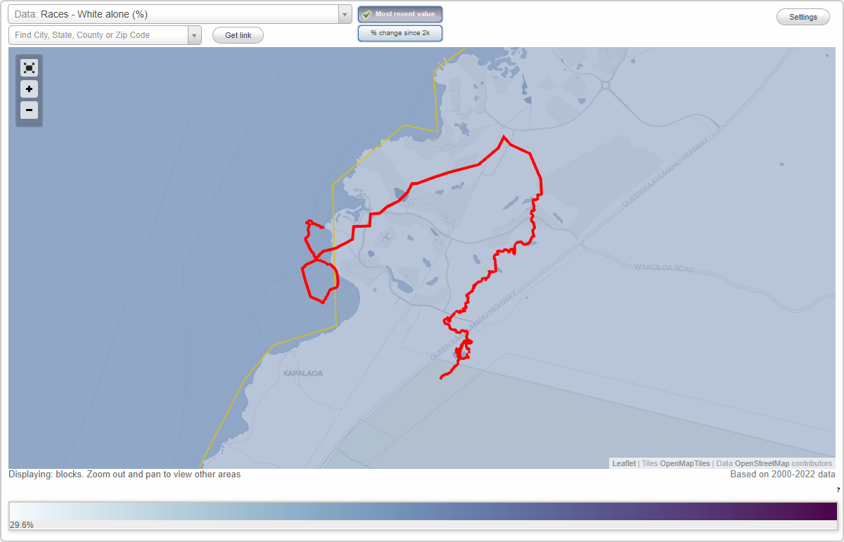
Area: 1.345 square miles
Roads and streets:
Waikoloa Beach Dr
Length: 1.64 miles
Directions: E-W, N-S, SE-NW, SW-NE
Directions: E-W, N-S, SE-NW, SW-NE
Honokaope Pl
Length: 0.64 miles
Directions: E-W, SE-NW, SW-NE
Directions: E-W, SE-NW, SW-NE
Keana Pl
Length: 0.50 miles
Directions: E-W, N-S, SE-NW, SW-NE
Directions: E-W, N-S, SE-NW, SW-NE
Honokaope Ct
Length: 0.27 miles
Directions: E-W, N-S, SW-NE
Directions: E-W, N-S, SW-NE
Mauna Lani Point Dr
Length: 0.16 miles
Directions: E-W, N-S, SE-NW
Directions: E-W, N-S, SE-NW
Kings Hwy Trl (Kiholo-Puako Trl)
Length: 0.11 miles
Directions: N-S, SE-NW, SW-NE
Directions: N-S, SE-NW, SW-NE
Kings Hwy Foot Trl (Kiholo-Puako Trl)
Length: 0.09 miles
Directions: E-W, N-S, SW-NE
Directions: E-W, N-S, SW-NE
Honokaope Way
Length: 0.03 miles
Direction: SE-NW
Direction: SE-NW