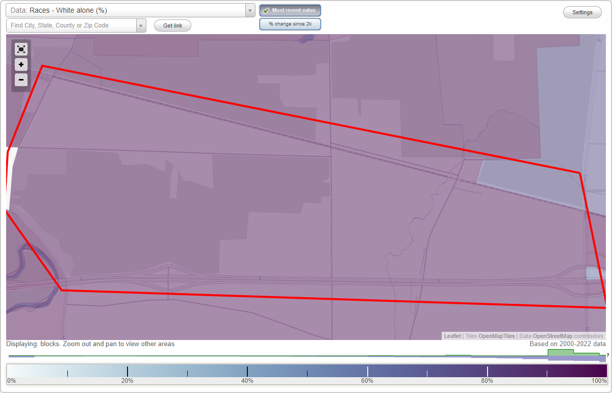
Brownhelm Station neighborhood in Vermilion, Ohio (OH), 44089 detailed profile
Settings
X

Business Search - 14 Million verified businesses
Area: 1.947 square miles
City-data.com crime index for city in 2020 (higher means more crime):
| City: | 35.5 |
| U.S. average: | 219.5 |
Highways in this neighborhood:
State Rte 2
Length: 6.14 miles
Direction: E-W
Direction: E-W
Roads and streets:
Brownhelm Station Rd
Length: 1.92 miles
Direction: E-W
Address range: 2200 to 4099
Direction: E-W
Address range: 2200 to 4099
Station Rd (Brownhelm Station Rd)
Length: 0.75 miles
Direction: E-W
Address range: 2416 to 2999
Direction: E-W
Address range: 2416 to 2999
High Bridge Rd
Length: 0.64 miles
Directions: N-S, SW-NE
Address range: 1000 to 1415
Directions: N-S, SW-NE
Address range: 1000 to 1415
Sunnyside Rd
Length: 0.61 miles
Direction: N-S
Address range: 1214 to 1647
Direction: N-S
Address range: 1214 to 1647
Claus Rd
Length: 0.60 miles
Directions: N-S, SW-NE
Address range: 1200 to 1598
Directions: N-S, SW-NE
Address range: 1200 to 1598
Vermilion Rd
Length: 0.47 miles
Directions: E-W, N-S, SE-NW
Address range: 1400 to 1609
Directions: E-W, N-S, SE-NW
Address range: 1400 to 1609
Baumhart Rd (Co Hwy 51)
Length: 0.37 miles
Direction: N-S
Address range: 1400 to 1699
Direction: N-S
Address range: 1400 to 1699
Old Brownhelm Station Rd
Length: 0.32 miles
Directions: E-W, SE-NW
Directions: E-W, SE-NW
Arndt St
Length: 0.16 miles
Direction: E-W
Address range: 2143 to 2315
Direction: E-W
Address range: 2143 to 2315
Railroad features:
Conrail Corp
Length: 6.60 miles
Direction: E-W
Direction: E-W
Penn Central RR
Length: 1.86 miles
Direction: E-W
Direction: E-W
Norfolk Southern Rlwy (Conrail RR)
Length: 1.28 miles
Direction: E-W
Direction: E-W
Other features:
Brownhelm Crk
Length: 0.92 miles
Directions: E-W, N-S, SE-NW, SW-NE
Directions: E-W, N-S, SE-NW, SW-NE
Vermilion Riv
Length: 0.08 miles
Directions: N-S, SE-NW
Directions: N-S, SE-NW