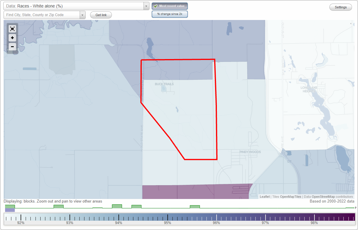
Buck Trails neighborhood in Harrison, Michigan (MI), 48625 detailed profile
Settings
X

Business Search - 14 Million verified businesses
Area: 5.068 square miles
Roads and streets:
N Harrison Ave
Length: 2.72 miles
Direction: N-S
Address range: 5770 to 8513
Direction: N-S
Address range: 5770 to 8513
Leota Grade
Length: 1.86 miles
Direction: SE-NW
Direction: SE-NW
Forest Rd
Length: 1.60 miles
Direction: E-W
Address range: 1 to 998
Direction: E-W
Address range: 1 to 998
W Long Lake Rd
Length: 1.43 miles
Direction: E-W
Address range: 151 to 999
Direction: E-W
Address range: 151 to 999
E Long Lake Rd
Length: 1.31 miles
Direction: E-W
Address range: 1 to 999
Direction: E-W
Address range: 1 to 999
Old State Ave
Length: 0.98 miles
Direction: N-S
Address range: 7797 to 8901
Direction: N-S
Address range: 7797 to 8901
E Arnold Lake Rd
Length: 0.87 miles
Directions: E-W, SW-NE
Address range: 700 to 999
Directions: E-W, SW-NE
Address range: 700 to 999
Pine St
Length: 0.51 miles
Direction: E-W
Address range: 279 to 429
Direction: E-W
Address range: 279 to 429
Oak St
Length: 0.47 miles
Directions: E-W, N-S, SE-NW
Directions: E-W, N-S, SE-NW
Park Ave
Length: 0.27 miles
Directions: N-S, SE-NW
Address range: 7672 to 7942
Directions: N-S, SE-NW
Address range: 7672 to 7942
Floodwood Creek
Length: 0.23 miles
Directions: E-W, SE-NW, SW-NE
Directions: E-W, SE-NW, SW-NE
Alpine Dr
Length: 0.19 miles
Direction: N-S
Address range: 7686 to 7751
Direction: N-S
Address range: 7686 to 7751
Other features:
Floodwood Crk
Length: 2.53 miles
Directions: E-W, N-S, SE-NW, SW-NE
Directions: E-W, N-S, SE-NW, SW-NE
Other features:
Caner Trl
Length: 2.22 miles
Directions: E-W, SE-NW
Directions: E-W, SE-NW