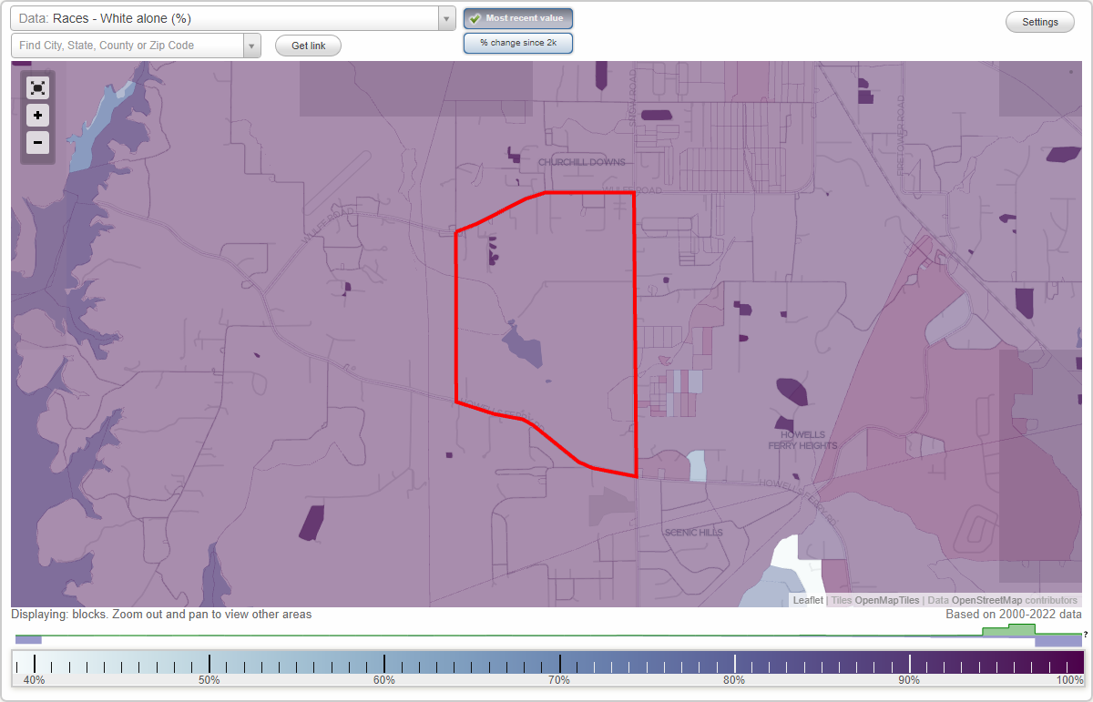
Camelia neighborhood in Semmes, Alabama (AL), 36575 detailed profile
Settings
X

Business Search - 14 Million verified businesses
Area: 1.328 square miles
Roads and streets:
Snow Rd N (Co Rd 25)
Length: 1.29 miles
Direction: N-S
Address range: 2447 to 3469
Direction: N-S
Address range: 2447 to 3469
Pollard Rd
Length: 0.85 miles
Directions: E-W, N-S, SW-NE
Address range: 10139 to 10317
Directions: E-W, N-S, SW-NE
Address range: 10139 to 10317
Co Rd 72 (Howells Ferry Rd)
Length: 0.69 miles
Direction: E-W
Address range: 9901 to 10567
Direction: E-W
Address range: 9901 to 10567
Eunice Rd
Length: 0.19 miles
Directions: E-W, N-S, SE-NW, SW-NE
Address range: 3351 to 3355
Directions: E-W, N-S, SE-NW, SW-NE
Address range: 3351 to 3355
Floyd Cir
Length: 0.14 miles
Direction: E-W
Address range: 3428 to 3529
Direction: E-W
Address range: 3428 to 3529
Wulff Rd (Co Rd 68)
Length: 0.03 miles
Directions: E-W, SW-NE
Address range: 10580 to 10627
Directions: E-W, SW-NE
Address range: 10580 to 10627
Other features:
Pierce Road
Length: 0.71 miles
Directions: E-W, SE-NW, SW-NE
Directions: E-W, SE-NW, SW-NE
Crooked Crk
Length: 0.41 miles
Directions: E-W, N-S, SE-NW, SW-NE
Directions: E-W, N-S, SE-NW, SW-NE