Jefferson Place neighborhood in Baton Rouge, Louisiana (LA), 70809 detailed profile
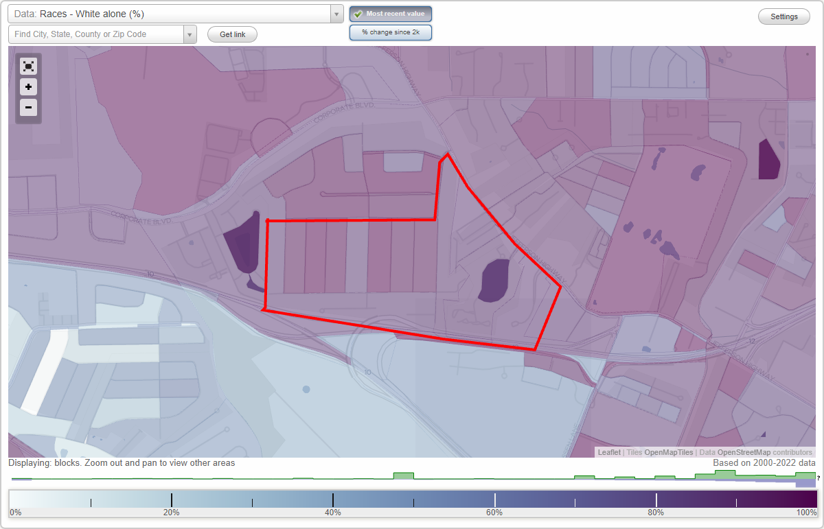
Settings
X

Business Search - 14 Million verified businesses
Area: 0.449 square miles
City-data.com crime index for city in 2020 (higher means more crime):
| City: | 544.1 |
| U.S. average: | 219.5 |
Highways in this neighborhood:
State Rte 73 (Jefferson Hwy)
Length: 0.56 miles
Directions: E-W, N-S, SE-NW, SW-NE
Address range: 7879 to 8199
Directions: E-W, N-S, SE-NW, SW-NE
Address range: 7879 to 8199
Roads and streets:
Richards Dr
Length: 0.87 miles
Directions: E-W, N-S, SW-NE
Address range: 6900 to 7899
Directions: E-W, N-S, SW-NE
Address range: 6900 to 7899
Jefferson Place Blvd
Length: 0.36 miles
Directions: E-W, N-S, SE-NW, SW-NE
Address range: 7700 to 7898
Directions: E-W, N-S, SE-NW, SW-NE
Address range: 7700 to 7898
N Jefferson Place Cir
Length: 0.33 miles
Directions: E-W, N-S, SW-NE
Address range: 7300 to 7899
Directions: E-W, N-S, SW-NE
Address range: 7300 to 7899
Conway Dr
Length: 0.28 miles
Direction: N-S
Address range: 2900 to 3299
Direction: N-S
Address range: 2900 to 3299
Office Park Blvd
Length: 0.27 miles
Direction: SW-NE
Address range: 7700 to 7999
Direction: SW-NE
Address range: 7700 to 7999
Interstate 12 Hwy W
Length: 0.24 miles
Direction: E-W
Direction: E-W
Owen St
Length: 0.23 miles
Directions: E-W, SW-NE
Address range: 7800 to 8087
Directions: E-W, SW-NE
Address range: 7800 to 8087
Leyland Ct
Length: 0.20 miles
Directions: E-W, SW-NE
Directions: E-W, SW-NE
Palm Park Ln
Length: 0.18 miles
Direction: SW-NE
Address range: 7800 to 7949
Direction: SW-NE
Address range: 7800 to 7949
Peebles St
Length: 0.14 miles
Directions: N-S, SE-NW, SW-NE
Address range: 3000 to 3399
Directions: N-S, SE-NW, SW-NE
Address range: 3000 to 3399
Claret Ave
Length: 0.13 miles
Direction: E-W
Address range: 7600 to 7699
Direction: E-W
Address range: 7600 to 7699
Mc Carroll Dr
Length: 0.11 miles
Direction: N-S
Address range: 3219 to 3399
Direction: N-S
Address range: 3219 to 3399
Mc Connell Dr
Length: 0.06 miles
Direction: N-S
Address range: 3300 to 3333
Direction: N-S
Address range: 3300 to 3333