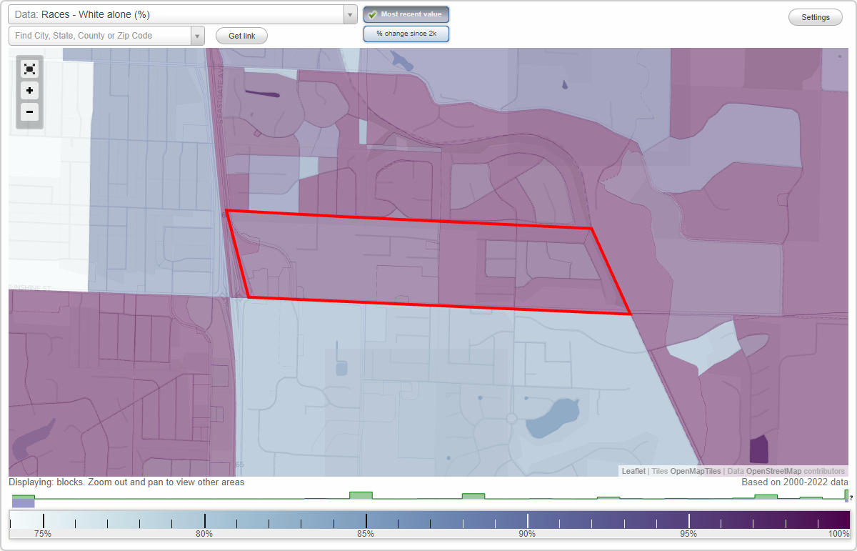
Kingsbury Forest neighborhood in Springfield, Missouri (MO), 65809 detailed profile
Settings
X

Business Search - 14 Million verified businesses
Area: 0.346 square miles
City-data.com crime index for city in 2020 (higher means more crime):
| City: | 751.2 |
| U.S. average: | 219.5 |
Roads and streets:
E Sunshine St (State Hwy D, E State Hwy D)
Length: 1.22 miles
Direction: E-W
Address range: 3646 to 4499
Direction: E-W
Address range: 3646 to 4499
E Kingsbury St
Length: 0.78 miles
Direction: E-W
Address range: 3700 to 4409
Direction: E-W
Address range: 3700 to 4409
E University St
Length: 0.50 miles
Directions: E-W, SE-NW, SW-NE
Address range: 4100 to 4499
Directions: E-W, SE-NW, SW-NE
Address range: 4100 to 4499
S Eastgate St (S Eastgate Ave)
Length: 0.45 miles
Directions: E-W, N-S, SE-NW
Address range: 1548 to 1611
Directions: E-W, N-S, SE-NW
Address range: 1548 to 1611
E Stanford St
Length: 0.41 miles
Directions: E-W, SW-NE
Address range: 3600 to 4199
Directions: E-W, SW-NE
Address range: 3600 to 4199
S Ranch Dr
Length: 0.25 miles
Directions: E-W, N-S
Address range: 1654 to 1799
Directions: E-W, N-S
Address range: 1654 to 1799
Forrest Heights Ave
Length: 0.24 miles
Directions: N-S, SW-NE
Directions: N-S, SW-NE
S Raford Dr
Length: 0.21 miles
Directions: N-S, SE-NW
Address range: 1600 to 1799
Directions: N-S, SE-NW
Address range: 1600 to 1799
Scout St
Length: 0.16 miles
Directions: N-S, SE-NW
Address range: 1654 to 1777
Directions: N-S, SE-NW
Address range: 1654 to 1777
Crighton Pl
Length: 0.16 miles
Direction: E-W
Address range: 4100 to 4199
Direction: E-W
Address range: 4100 to 4199
S Chapel Dr
Length: 0.14 miles
Directions: N-S, SE-NW
Address range: 1634 to 1733
Directions: N-S, SE-NW
Address range: 1634 to 1733
S Woodbury Ave
Length: 0.12 miles
Directions: N-S, SE-NW
Address range: 1600 to 1799
Directions: N-S, SE-NW
Address range: 1600 to 1799
S Augusta Ave
Length: 0.06 miles
Direction: N-S
Address range: 1600 to 1699
Direction: N-S
Address range: 1600 to 1699
S Cobblestone Ct
Length: 0.06 miles
Directions: N-S, SE-NW
Address range: 1600 to 1699
Directions: N-S, SE-NW
Address range: 1600 to 1699
S Bristol Cir
Length: 0.05 miles
Directions: N-S, SW-NE
Address range: 1600 to 1699
Directions: N-S, SW-NE
Address range: 1600 to 1699