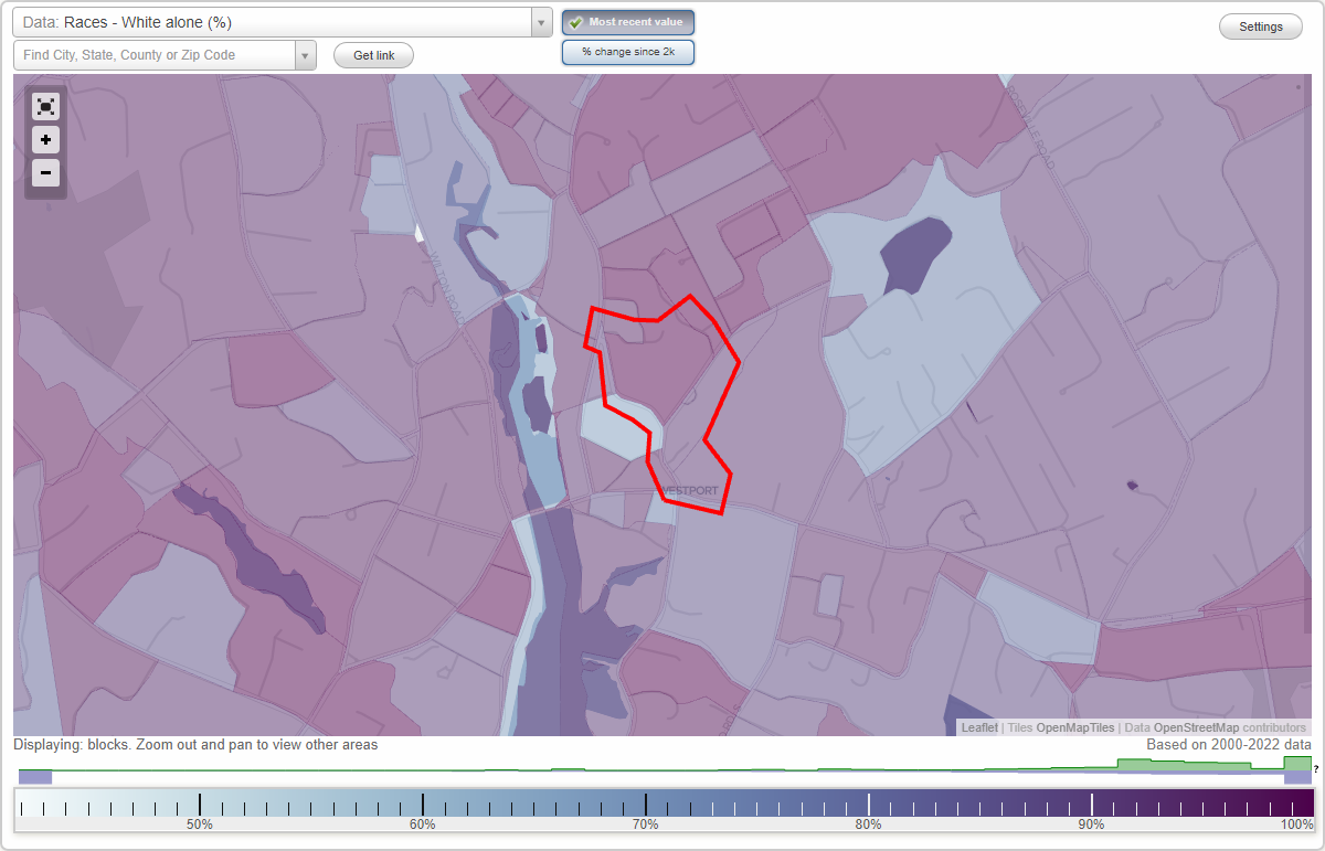
Myrtle Avenue Historic District (Myrtle Avenue) neighborhood in Westport, Connecticut (CT), 06880 detailed profile
Settings
X

Business Search - 14 Million verified businesses
Area: 0.079 square miles
City-data.com crime index for place in 2020 (higher means more crime):
| City: | 49.5 |
| U.S. average: | 219.5 |
Highways in this neighborhood:
Roads and streets:
Myrtle Ave
Length: 0.45 miles
Directions: E-W, N-S, SE-NW
Address range: 1 to 122
Directions: E-W, N-S, SE-NW
Address range: 1 to 122
Evergreen Ave
Length: 0.19 miles
Direction: SW-NE
Address range: 1 to 26
Direction: SW-NE
Address range: 1 to 26
Washington Ave
Length: 0.14 miles
Directions: E-W, N-S, SE-NW
Address range: 43 to 65
Directions: E-W, N-S, SE-NW
Address range: 43 to 65
Teregram Pl
Length: 0.12 miles
Directions: E-W, SW-NE
Address range: 1 to 12
Directions: E-W, SW-NE
Address range: 1 to 12
St Johns Pl
Length: 0.11 miles
Directions: E-W, SE-NW
Address range: 1 to 15
Directions: E-W, SE-NW
Address range: 1 to 15
Violet Ln
Length: 0.07 miles
Direction: SW-NE
Address range: 1 to 99
Direction: SW-NE
Address range: 1 to 99
Linden Ln
Length: 0.05 miles
Direction: E-W
Direction: E-W
Evergreen Ter
Length: 0.04 miles
Direction: SE-NW
Direction: SE-NW
Main St
Length: 0.04 miles
Direction: N-S
Address range: 241 to 253
Direction: N-S
Address range: 241 to 253
Other features:
Dead Man S Brk
Length: 0.18 miles
Direction: SW-NE
Direction: SW-NE