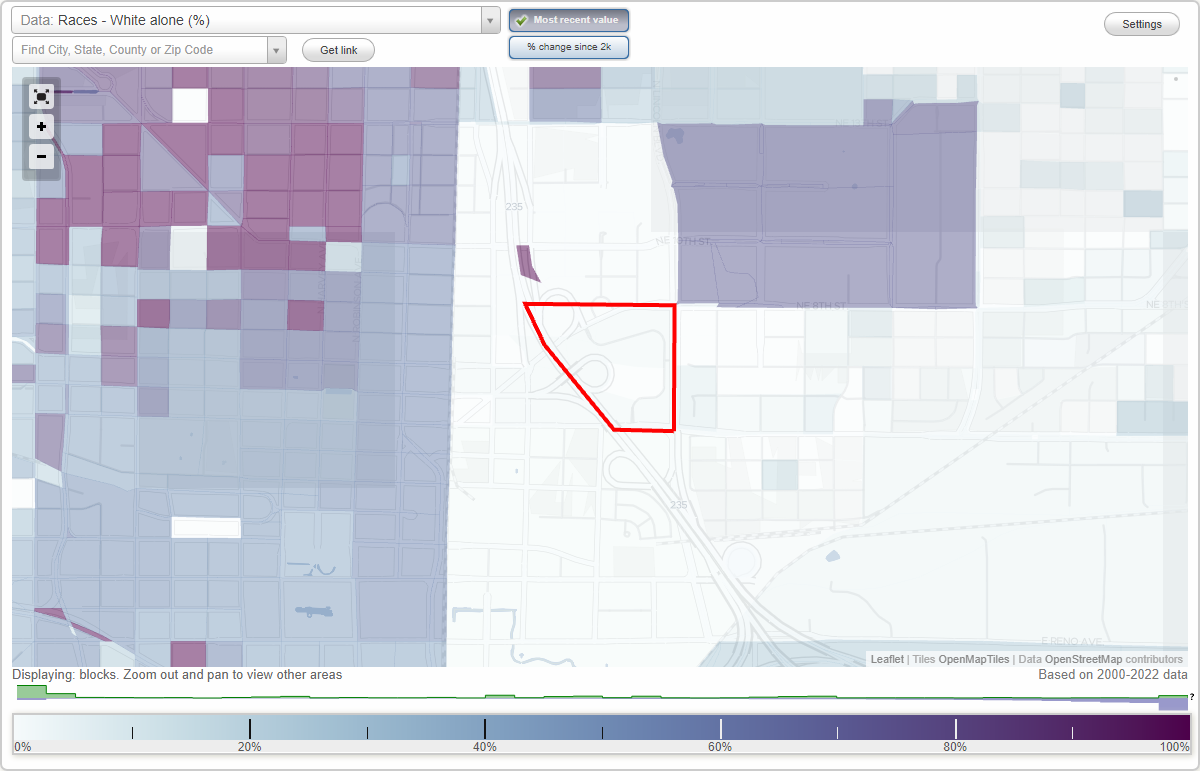
Presbyterian Health Foundation Research Park neighborhood in Oklahoma City, Oklahoma (OK), 73104 detailed profile
Settings
X

Business Search - 14 Million verified businesses
Area: 0.080 square miles
City-data.com crime index for city in 2020 (higher means more crime):
| City: | 430.2 |
| U.S. average: | 219.5 |
Limited-access highways (interstate or state) in this neighborhood:
US Hwy 77 (I- 235, N I- 235)
Length: 0.37 miles
Direction: SE-NW
Direction: SE-NW
Roads and streets:
NE 7th St
Length: 0.36 miles
Directions: E-W, SE-NW
Address range: 240 to 599
Directions: E-W, SE-NW
Address range: 240 to 599
NE 4th St
Length: 0.29 miles
Directions: E-W, N-S
Address range: 450 to 611
Directions: E-W, N-S
Address range: 450 to 611
NE 6th St
Length: 0.27 miles
Directions: E-W, SE-NW, SW-NE
Address range: 300 to 599
Directions: E-W, SE-NW, SW-NE
Address range: 300 to 599
N Stiles Ave
Length: 0.25 miles
Directions: E-W, N-S, SE-NW, SW-NE
Address range: 564 to 899
Directions: E-W, N-S, SE-NW, SW-NE
Address range: 564 to 899
N Lincoln Blvd
Length: 0.24 miles
Directions: E-W, N-S, SE-NW
Directions: E-W, N-S, SE-NW
Research Pkwy
Length: 0.23 miles
Directions: N-S, SE-NW, SW-NE
Directions: N-S, SE-NW, SW-NE
NE 5th St
Length: 0.21 miles
Directions: E-W, SW-NE
Address range: 372 to 599
Directions: E-W, SW-NE
Address range: 372 to 599
Harrison Ave
Length: 0.15 miles
Directions: E-W, SW-NE
Address range: 260 to 399
Directions: E-W, SW-NE
Address range: 260 to 399
NE 8th St
Length: 0.09 miles
Direction: E-W
Address range: 300 to 499
Direction: E-W
Address range: 300 to 499
N Central Ave
Length: 0.09 miles
Direction: N-S
Address range: 700 to 799
Direction: N-S
Address range: 700 to 799
N Walnut Ave
Length: 0.06 miles
Direction: SE-NW
Direction: SE-NW
N Stiles Cir
Length: 0.06 miles
Directions: E-W, SW-NE
Directions: E-W, SW-NE
Stiles Cir
Length: 0.04 miles
Directions: N-S, SE-NW
Directions: N-S, SE-NW