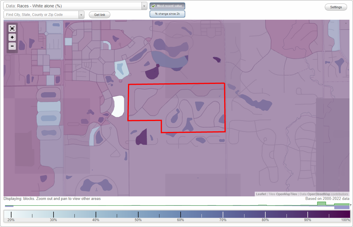
Claridge Farm neighborhood in Carmel, Indiana (IN), 46032 detailed profile
Settings
X

Business Search - 14 Million verified businesses
Area: 0.256 square miles
City-data.com crime index for city in 2020 (higher means more crime):
| City: | 48.7 |
| U.S. average: | 219.5 |
Roads and streets:
Helford Ln
Length: 1.13 miles
Directions: E-W, N-S, SE-NW, SW-NE
Address range: 1156 to 1399
Directions: E-W, N-S, SE-NW, SW-NE
Address range: 1156 to 1399
N Claridge Way
Length: 0.58 miles
Directions: E-W, SE-NW, SW-NE
Address range: 1266 to 1499
Directions: E-W, SE-NW, SW-NE
Address range: 1266 to 1499
Glendurgan Dr
Length: 0.51 miles
Directions: E-W, N-S, SE-NW, SW-NE
Address range: 12400 to 12599
Directions: E-W, N-S, SE-NW, SW-NE
Address range: 12400 to 12599
Pembrooke Cir
Length: 0.48 miles
Directions: E-W, N-S, SE-NW, SW-NE
Address range: 12400 to 12699
Directions: E-W, N-S, SE-NW, SW-NE
Address range: 12400 to 12699
Gwynmere Run
Length: 0.37 miles
Directions: E-W, N-S, SW-NE
Address range: 1400 to 1599
Directions: E-W, N-S, SW-NE
Address range: 1400 to 1599
Chyverton Cir
Length: 0.11 miles
Directions: E-W, SW-NE
Address range: 12500 to 12699
Directions: E-W, SW-NE
Address range: 12500 to 12699
Other features:
Will Crk
Length: 0.11 miles
Directions: N-S, SE-NW
Directions: N-S, SE-NW