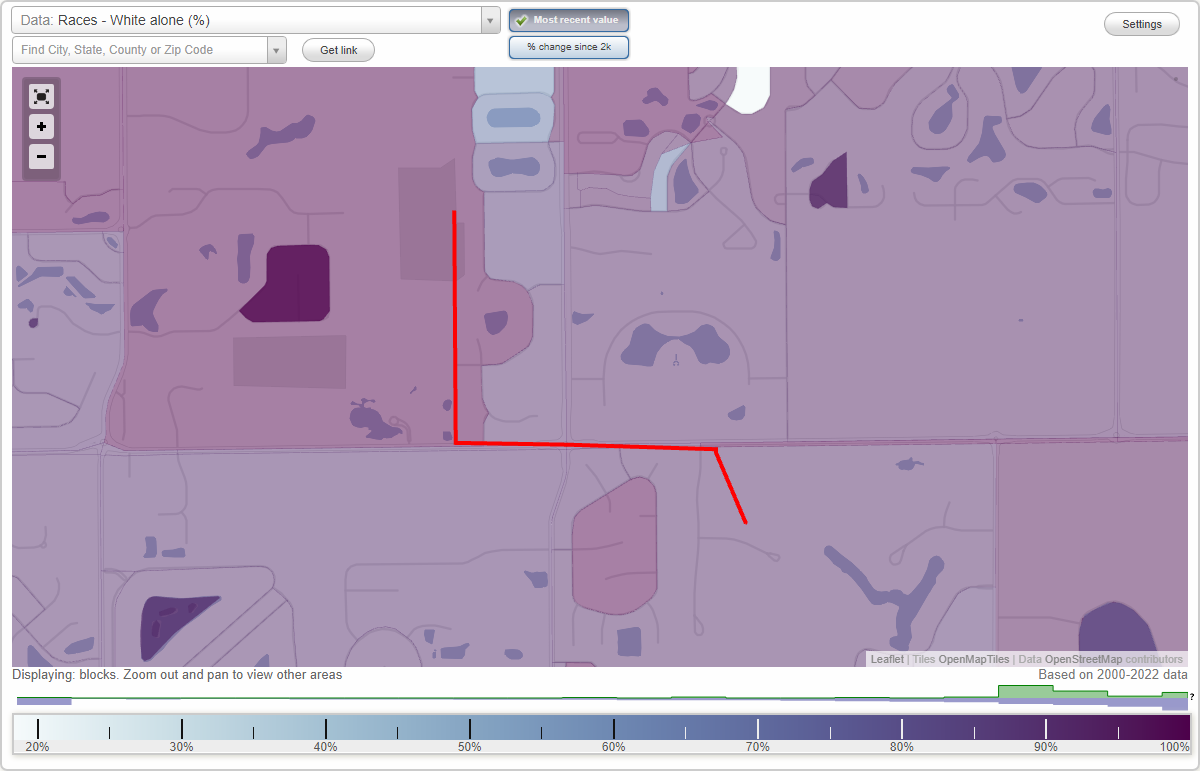
Crossfields neighborhood in Carmel, Indiana (IN), 46032 detailed profile
Settings
X

Business Search - 14 Million verified businesses
Area: 0.121 square miles
City-data.com crime index for city in 2020 (higher means more crime):
| City: | 48.7 |
| U.S. average: | 219.5 |
Roads and streets:
Durbin Dr (Durbin Pl)
Length: 0.41 miles
Directions: E-W, N-S, SE-NW, SW-NE
Address range: 11800 to 12259
Directions: E-W, N-S, SE-NW, SW-NE
Address range: 11800 to 12259
W 24th (Towne Rd)
Length: 0.36 miles
Direction: N-S
Address range: 11600 to 12027
Direction: N-S
Address range: 11600 to 12027
Crossfields Dr
Length: 0.17 miles
Directions: N-S, SE-NW
Address range: 11644 to 11899
Directions: N-S, SE-NW
Address range: 11644 to 11899
Crossfields Ct
Length: 0.15 miles
Directions: E-W, SE-NW, SW-NE
Address range: 2400 to 2599
Directions: E-W, SE-NW, SW-NE
Address range: 2400 to 2599
Scarborough Ln
Length: 0.11 miles
Directions: E-W, SW-NE
Address range: 2400 to 2499
Directions: E-W, SW-NE
Address range: 2400 to 2499
Durbin Ct
Length: 0.04 miles
Direction: SW-NE
Address range: 2500 to 2699
Direction: SW-NE
Address range: 2500 to 2699